Visual Art, etc.
Maps for Getting Lost | images
← View Installation
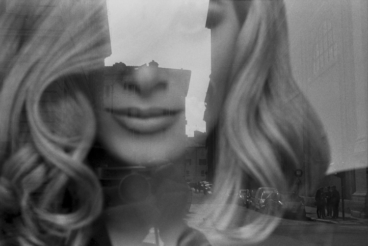
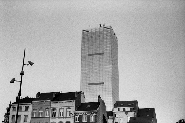
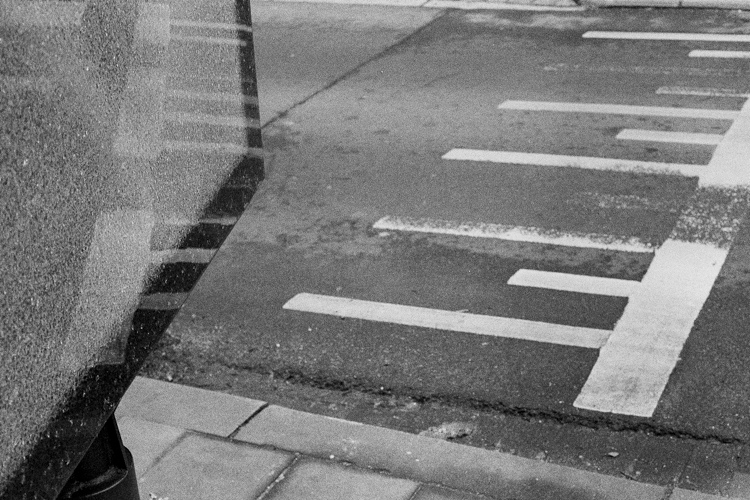
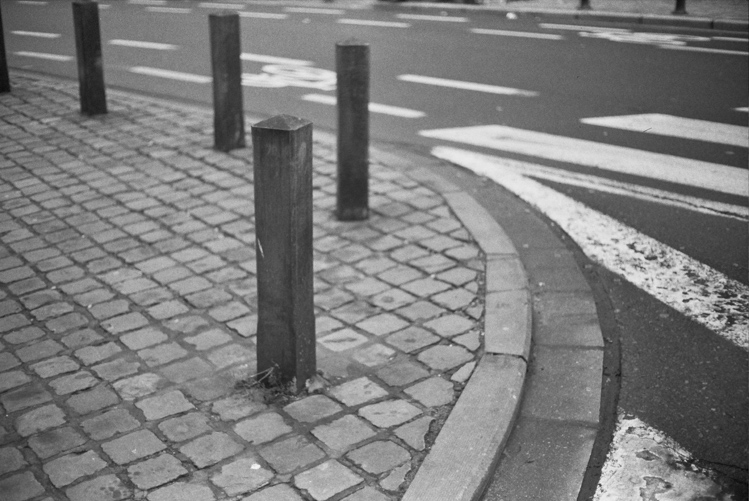
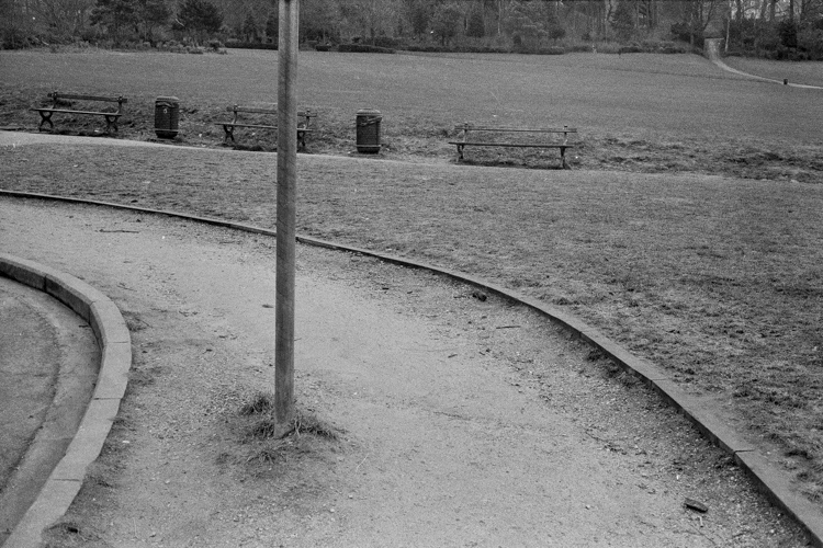
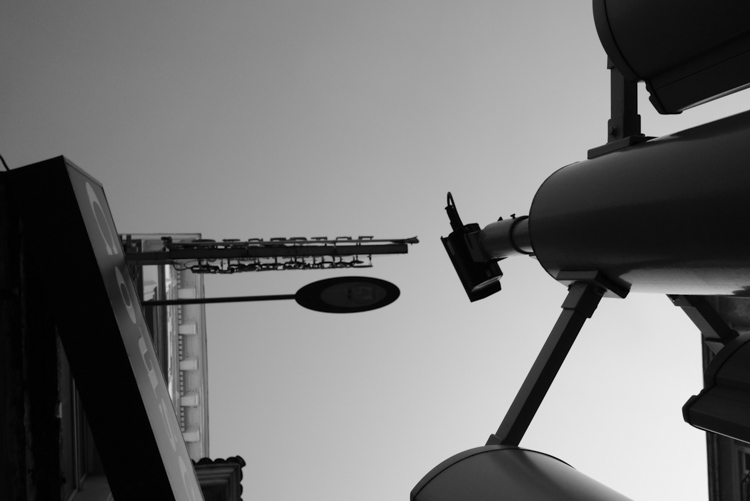
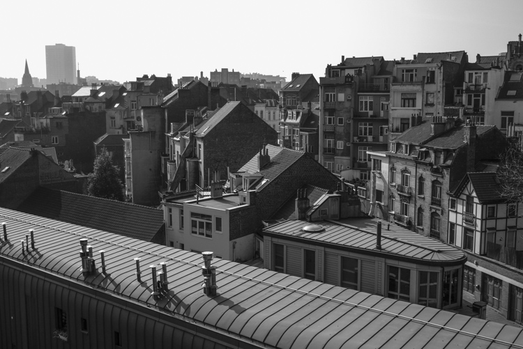
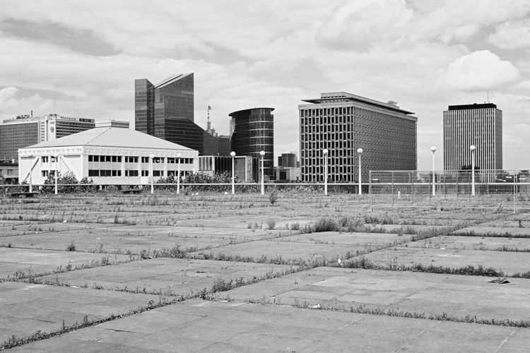
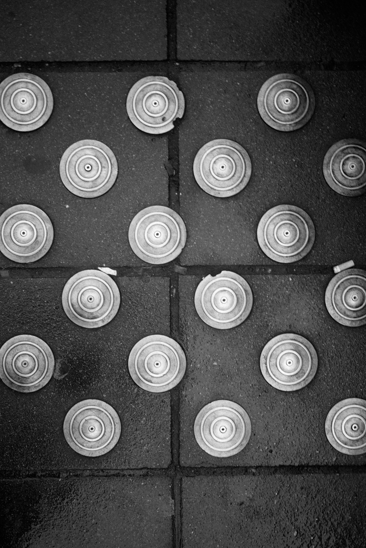
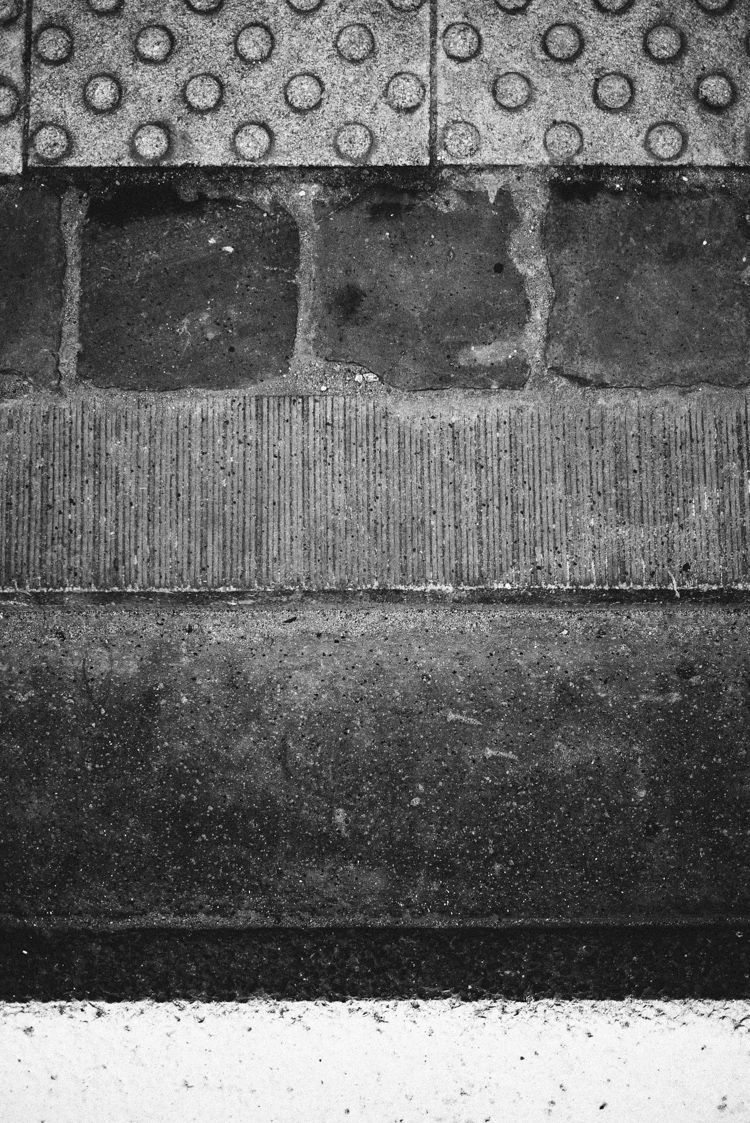
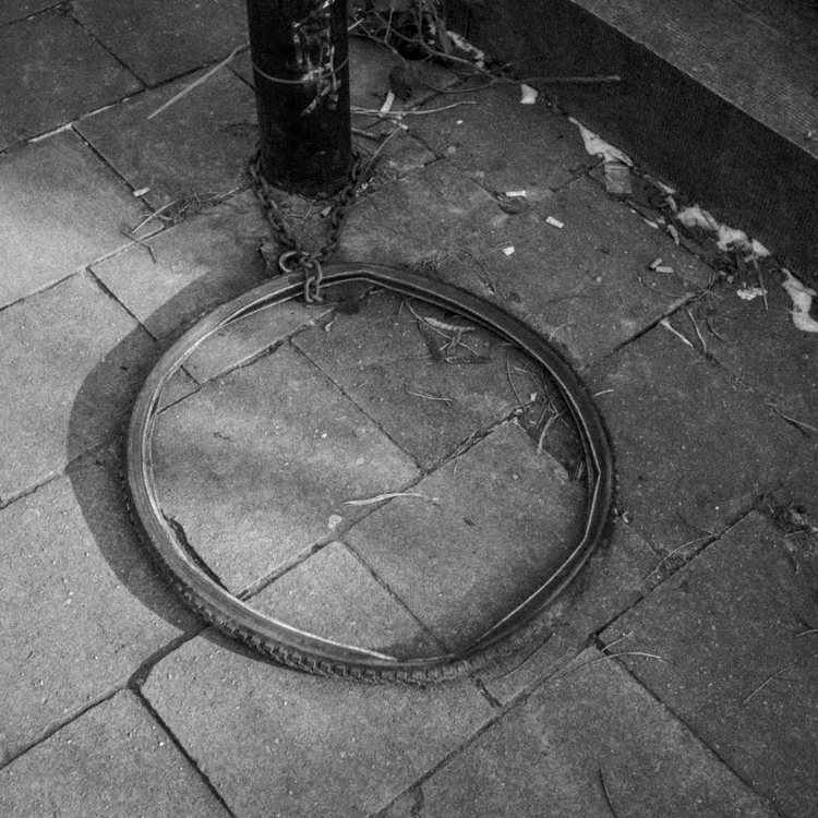
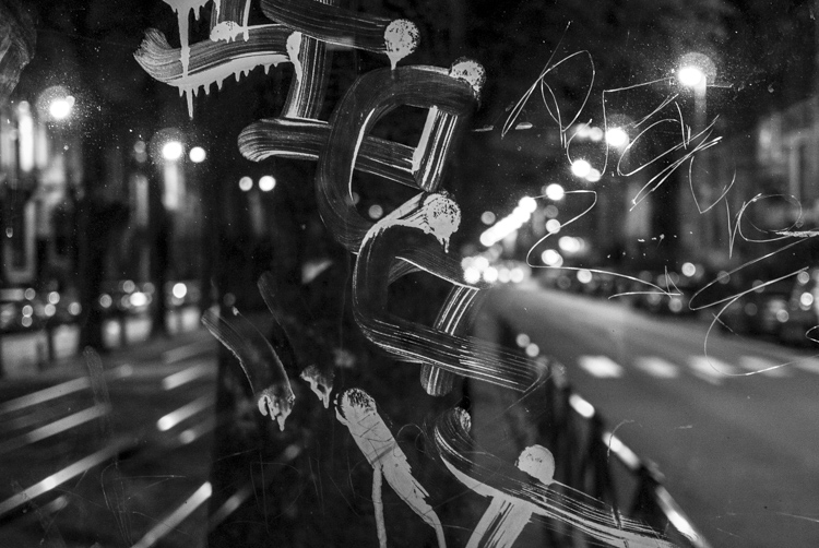
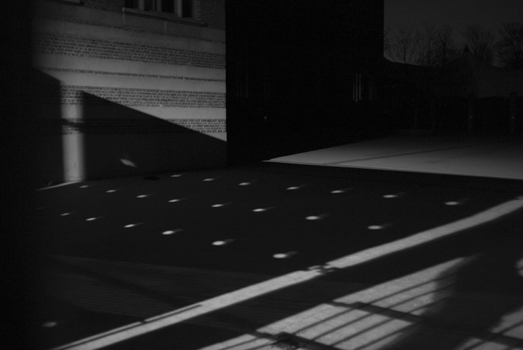
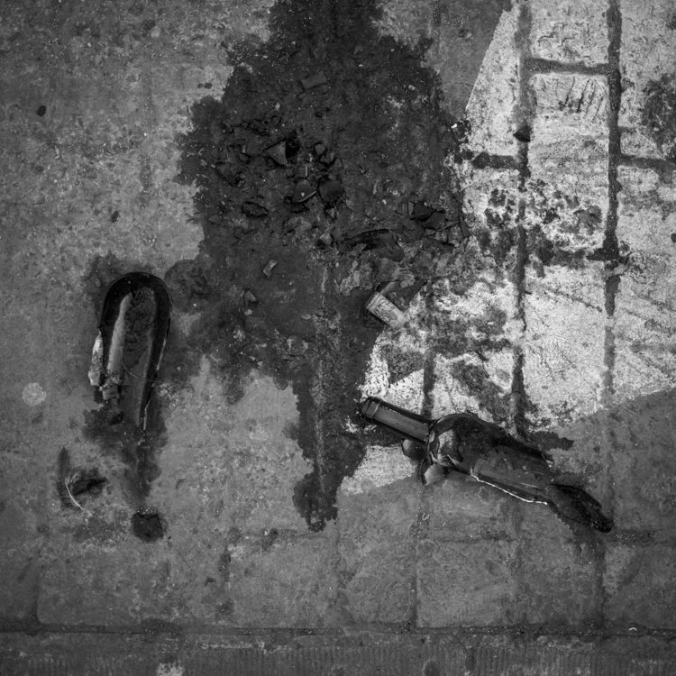
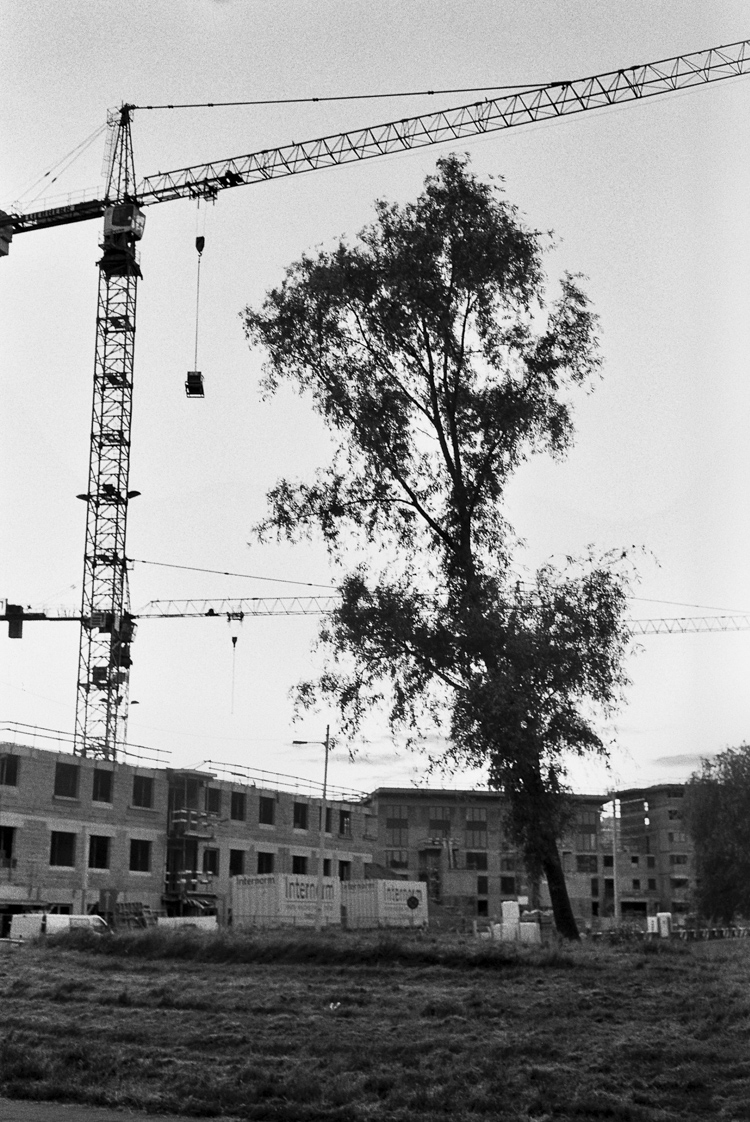
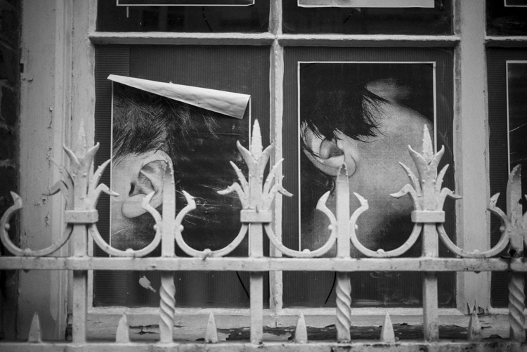
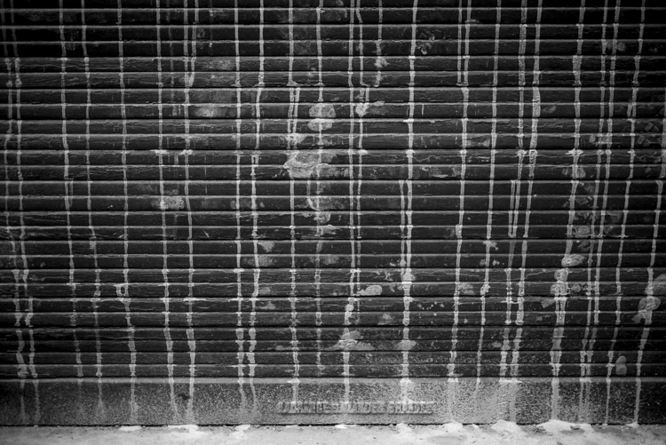
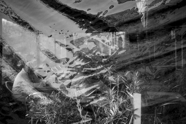
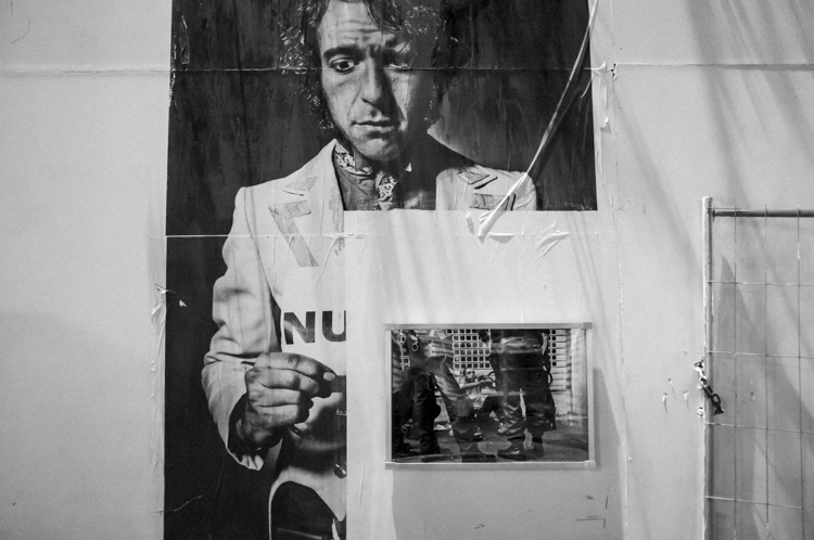
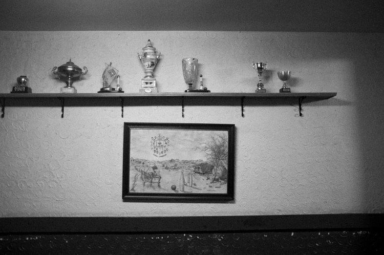
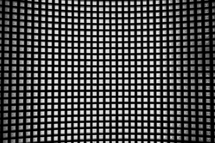
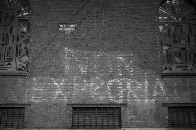
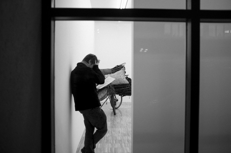
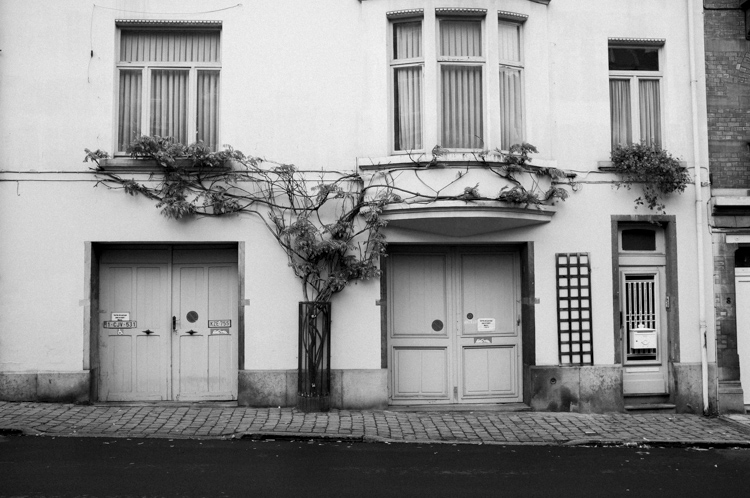
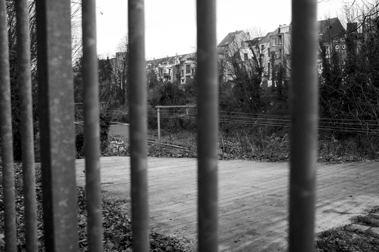
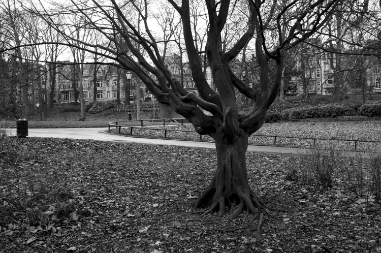
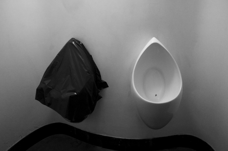
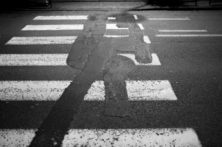
Maps for Getting Lost is an ongoing series of photo books based on exploratory walks through urban environments. They are an investigation of the process of travel without destination, or orientation.
–––
The visual structure of Brussels can be easy to ignore; it is not a conventionally beautiful city. Walking through it is often seen as an inefficient method of getting from point A to point B. But the physical surroundings in which we live and move are part of our psychological being, and they offer small gifts of perception if seen from certain angles.
I invent ways to get lost in the place where I live. I walk without a destination as a way to observe my environment. The skyline may guide my route, or the movement of people, or the names of streets, or the patterns in cobblestones.
These ‘Maps for Getting Lost’ are the result of experiencing Brussels as a chaotic, surreal, visual stage. They are postcards from a wayfarer’s state of mind, a glimpse of the subtle visual poetry inherent in the constant activity of the modern city.
All books are folded and sewn by hand and limited to 25 copies each.
Details and purchase at Turnout Press.
